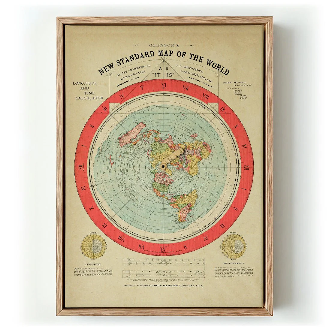
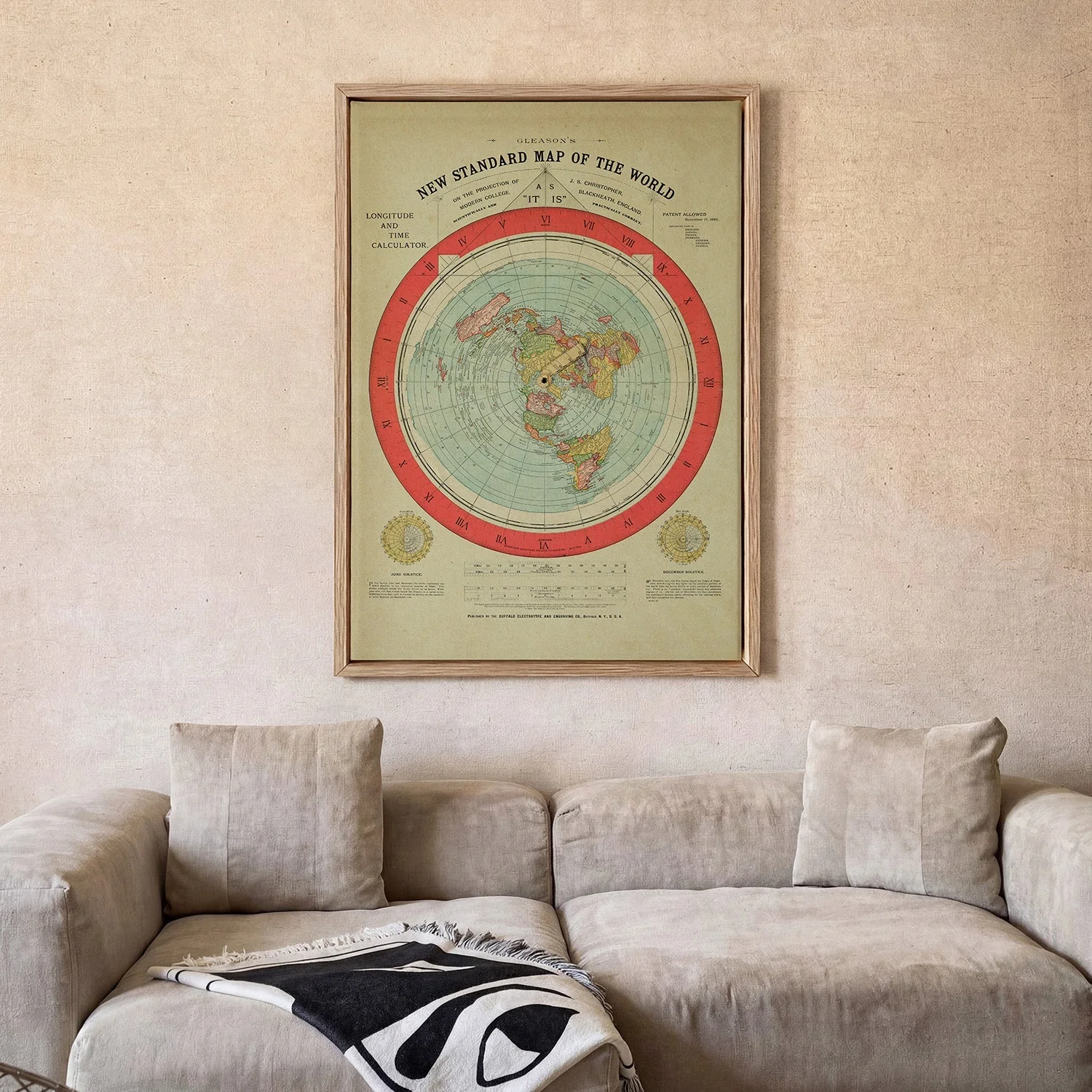
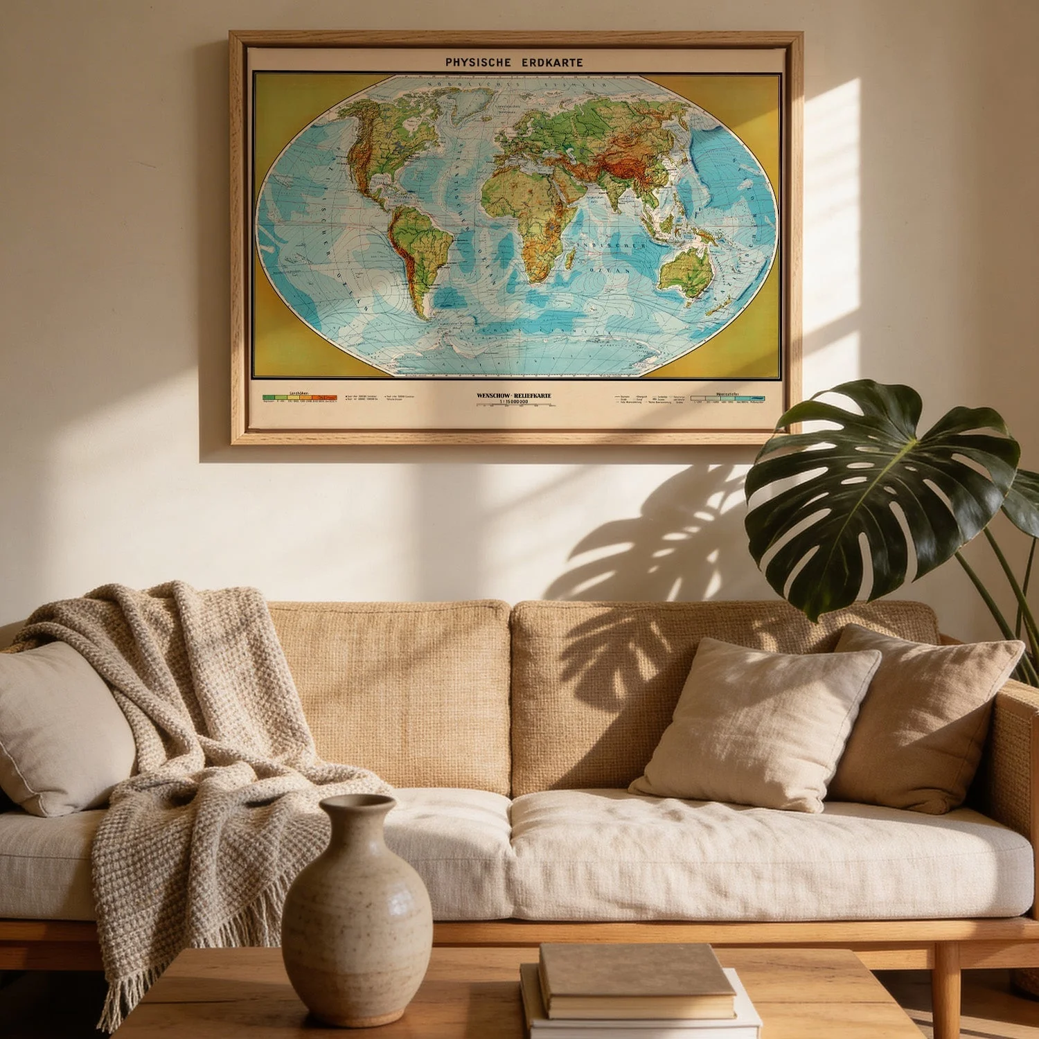
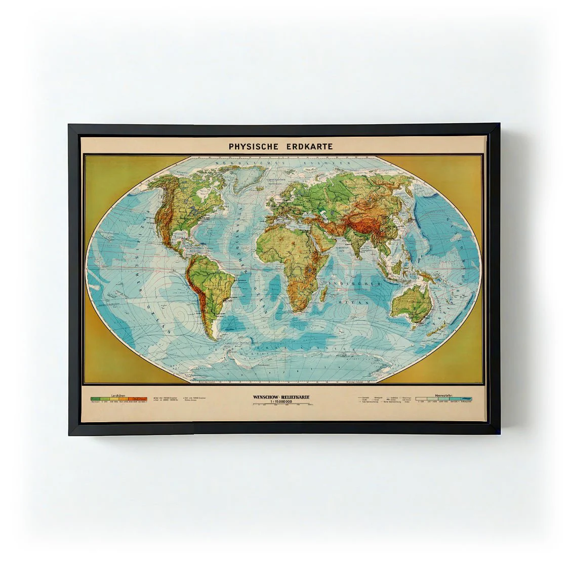
Physische Erdkarte
Physische Erdkarte is a sweeping vintage cartographic illustration depicting the physical geography of the Earth in meticulous detail. Rendered in the tradition of 19th-century scientific atlases, the map uses a warm ochre and sepia palette to convey elevation, ocean depth, and continental form. The composition balances scientific rigour with visual elegance — dense with information yet harmonious in its layout. It speaks to an era when mapping the world was an act of wonder as much as scholarship, and carries that spirit clearly on the wall.
Produced as a canvas print in our Berlin studio, the warm ochre tones and dense linework of this historic map gain real presence on the textured weave. The natural surface adds depth and substance, drawing out the richness of the original palette in a way that feels entirely at home on the wall.
Original: $38.34
-65%$38.34
$13.42More Images
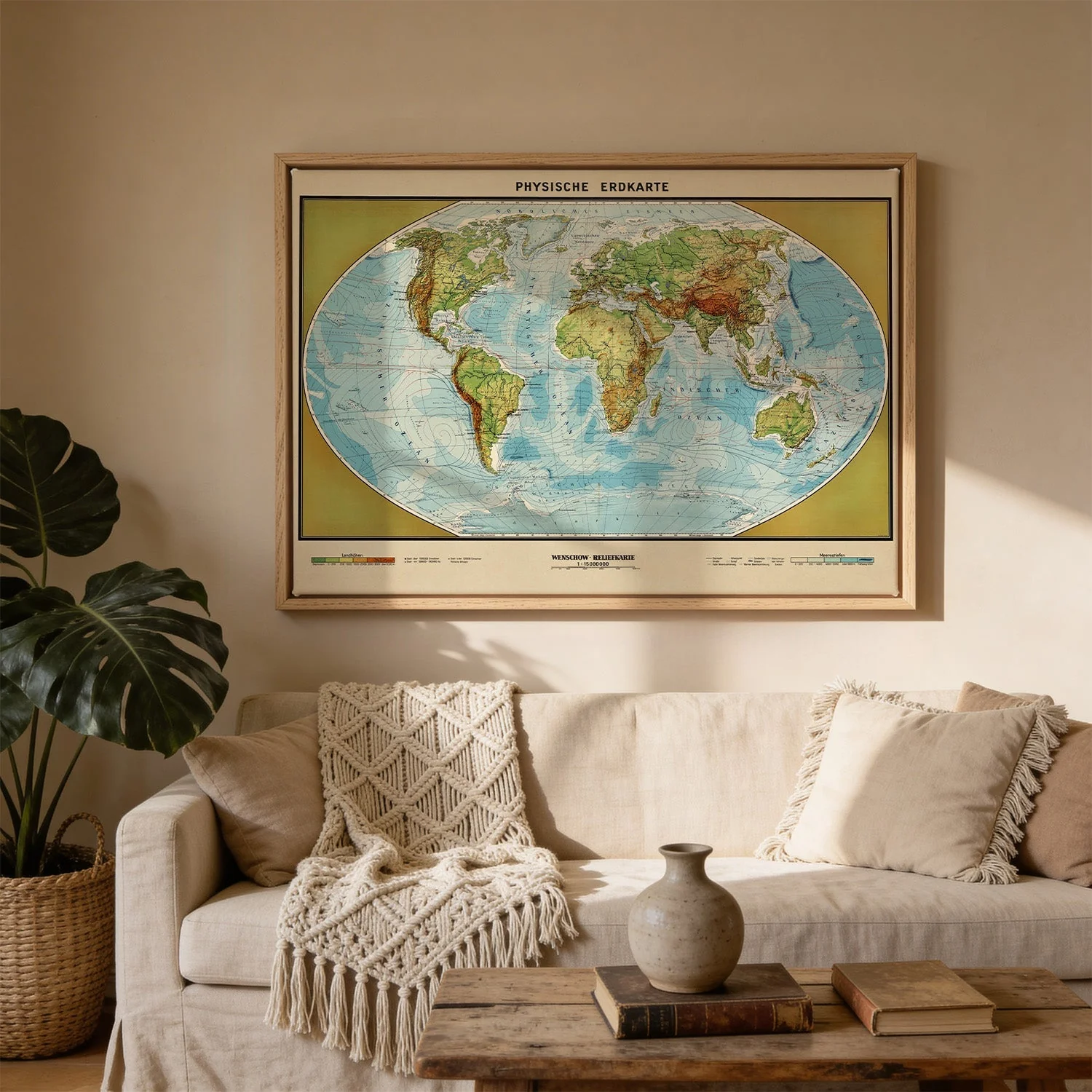
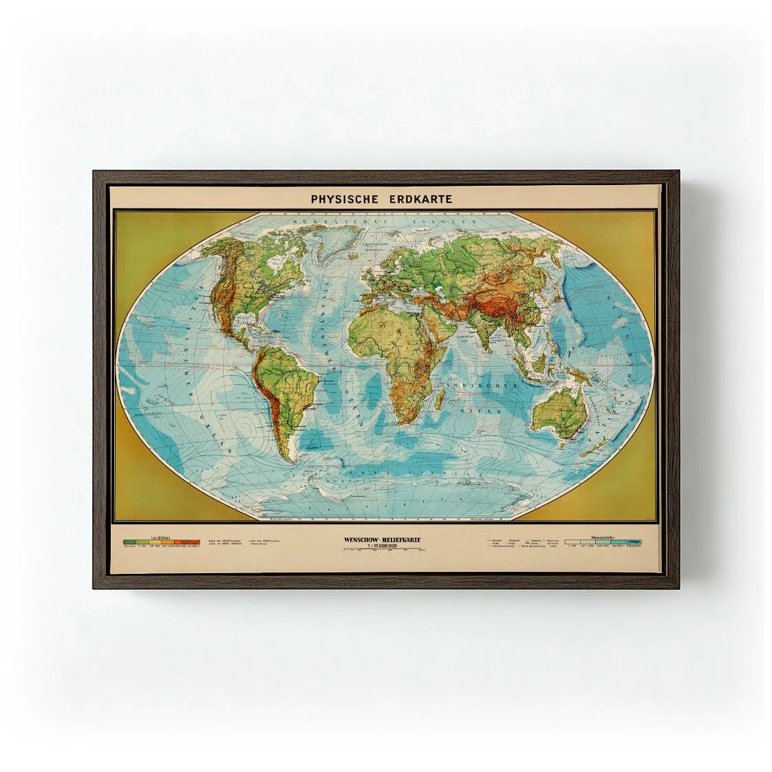
Physische Erdkarte
Physische Erdkarte is a sweeping vintage cartographic illustration depicting the physical geography of the Earth in meticulous detail. Rendered in the tradition of 19th-century scientific atlases, the map uses a warm ochre and sepia palette to convey elevation, ocean depth, and continental form. The composition balances scientific rigour with visual elegance — dense with information yet harmonious in its layout. It speaks to an era when mapping the world was an act of wonder as much as scholarship, and carries that spirit clearly on the wall.
Produced as a canvas print in our Berlin studio, the warm ochre tones and dense linework of this historic map gain real presence on the textured weave. The natural surface adds depth and substance, drawing out the richness of the original palette in a way that feels entirely at home on the wall.
Product Information
Product Information
Shipping & Returns
Shipping & Returns
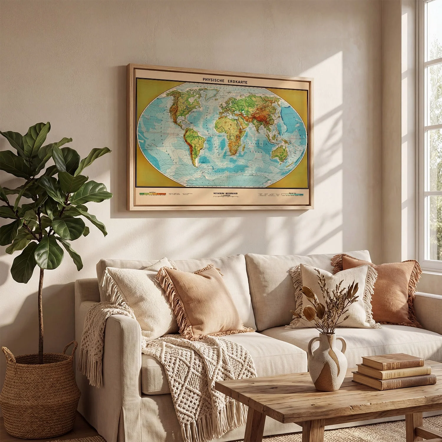
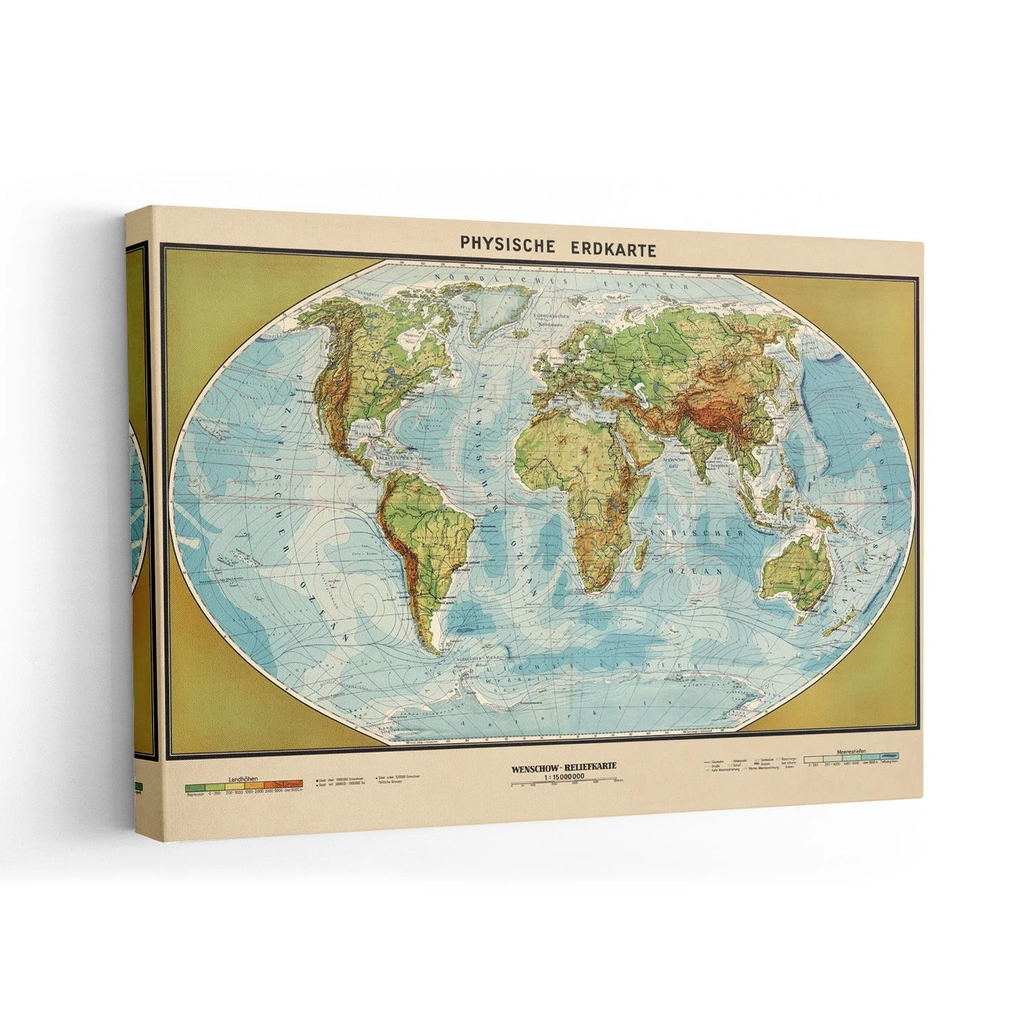
Description
Physische Erdkarte is a sweeping vintage cartographic illustration depicting the physical geography of the Earth in meticulous detail. Rendered in the tradition of 19th-century scientific atlases, the map uses a warm ochre and sepia palette to convey elevation, ocean depth, and continental form. The composition balances scientific rigour with visual elegance — dense with information yet harmonious in its layout. It speaks to an era when mapping the world was an act of wonder as much as scholarship, and carries that spirit clearly on the wall.
Produced as a canvas print in our Berlin studio, the warm ochre tones and dense linework of this historic map gain real presence on the textured weave. The natural surface adds depth and substance, drawing out the richness of the original palette in a way that feels entirely at home on the wall.