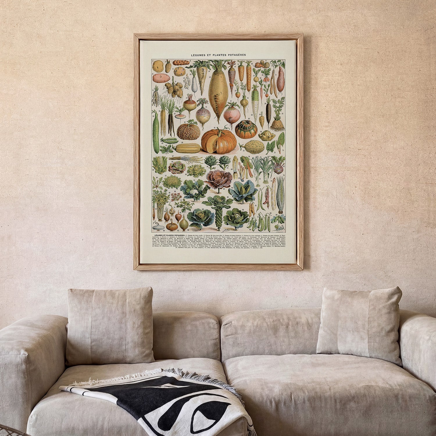
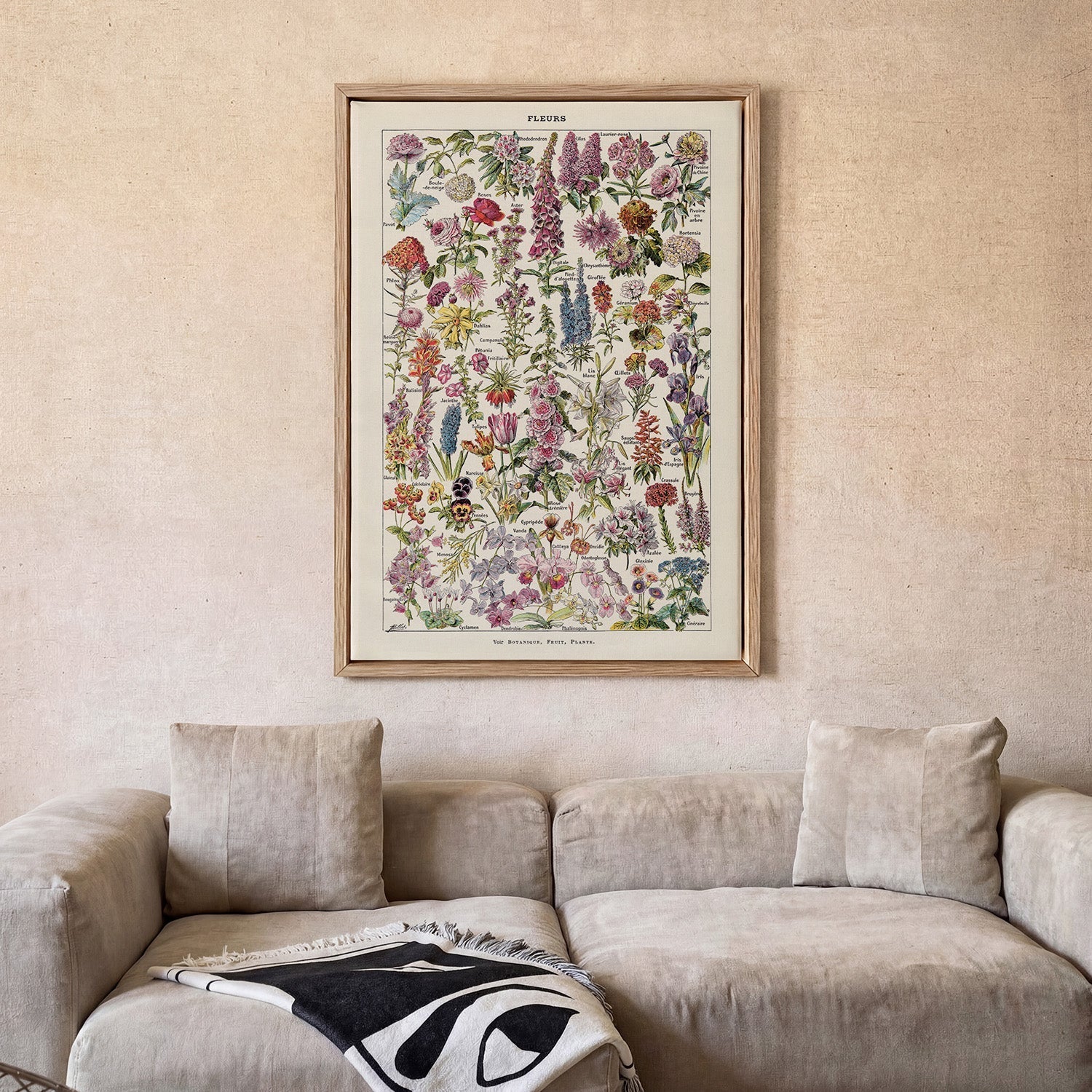
Panoramic Plan of the Principal Rivers & Lakes
This panoramic comparative chart visualises the world's principal rivers and mountain ranges in the grand infographic tradition of nineteenth-century cartography. Waterways are rendered as stacked vertical profiles — scaled and labelled in fine engraved type — creating a composition that is simultaneously a scientific document and a striking piece of graphic design. The palette is restrained: warm paper tones, fine black linework, and occasional colour washes that guide the eye through the data. The overall effect is quietly monumental, a testament to the Victorian ambition of comprehending the entire natural world on a single printed sheet.
Printed on cotton canvas in our Berlin studio, this canvas print preserves every fine line and antique tone of the original through archival pigment inks. The canvas texture adds warmth and physicality, making this canvas art print a rich focal point for any map lover or design-led interior.
Original: $38.34
-65%$38.34
$13.42More Images


Panoramic Plan of the Principal Rivers & Lakes
This panoramic comparative chart visualises the world's principal rivers and mountain ranges in the grand infographic tradition of nineteenth-century cartography. Waterways are rendered as stacked vertical profiles — scaled and labelled in fine engraved type — creating a composition that is simultaneously a scientific document and a striking piece of graphic design. The palette is restrained: warm paper tones, fine black linework, and occasional colour washes that guide the eye through the data. The overall effect is quietly monumental, a testament to the Victorian ambition of comprehending the entire natural world on a single printed sheet.
Printed on cotton canvas in our Berlin studio, this canvas print preserves every fine line and antique tone of the original through archival pigment inks. The canvas texture adds warmth and physicality, making this canvas art print a rich focal point for any map lover or design-led interior.
Product Information
Product Information
Shipping & Returns
Shipping & Returns
Description
This panoramic comparative chart visualises the world's principal rivers and mountain ranges in the grand infographic tradition of nineteenth-century cartography. Waterways are rendered as stacked vertical profiles — scaled and labelled in fine engraved type — creating a composition that is simultaneously a scientific document and a striking piece of graphic design. The palette is restrained: warm paper tones, fine black linework, and occasional colour washes that guide the eye through the data. The overall effect is quietly monumental, a testament to the Victorian ambition of comprehending the entire natural world on a single printed sheet.
Printed on cotton canvas in our Berlin studio, this canvas print preserves every fine line and antique tone of the original through archival pigment inks. The canvas texture adds warmth and physicality, making this canvas art print a rich focal point for any map lover or design-led interior.