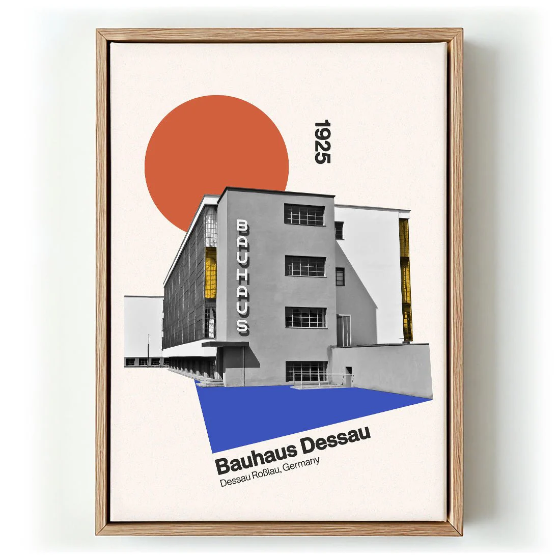
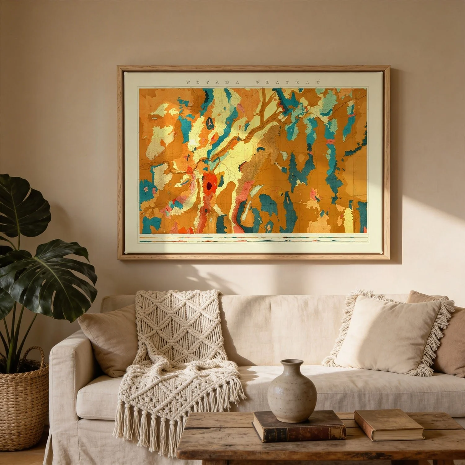
Nevada Plateau Geological
Where the Nevada Basin chart maps a sunken geography, this plateau survey turns attention to elevated terrain — broad mesa formations and the horizontal sweep of high desert geology rendered with field-survey precision. The composition works across a wide register, strata annotated in careful layers, topographic transitions marked with the confidence of a practised scientific draughtsman. Muted earth tones — ochres, browns, and warm greys — give the chart a visual coherence that transcends mere documentation. Landscape perceived through the lens of nineteenth-century geological method.
Canvas deepens the earth-toned ochres, browns, and warm greys of the survey. The weave gives the annotated strata and topographic layers a field-journal quality — tactile, weathered, quietly authoritative. Printed as a canvas art print, the 19th-century geological chart carries itself like an object with history: less clinical documentation, more surveyed landscape rendered with patient scientific hand.
Original: $44.15
-65%$44.15
$15.45More Images


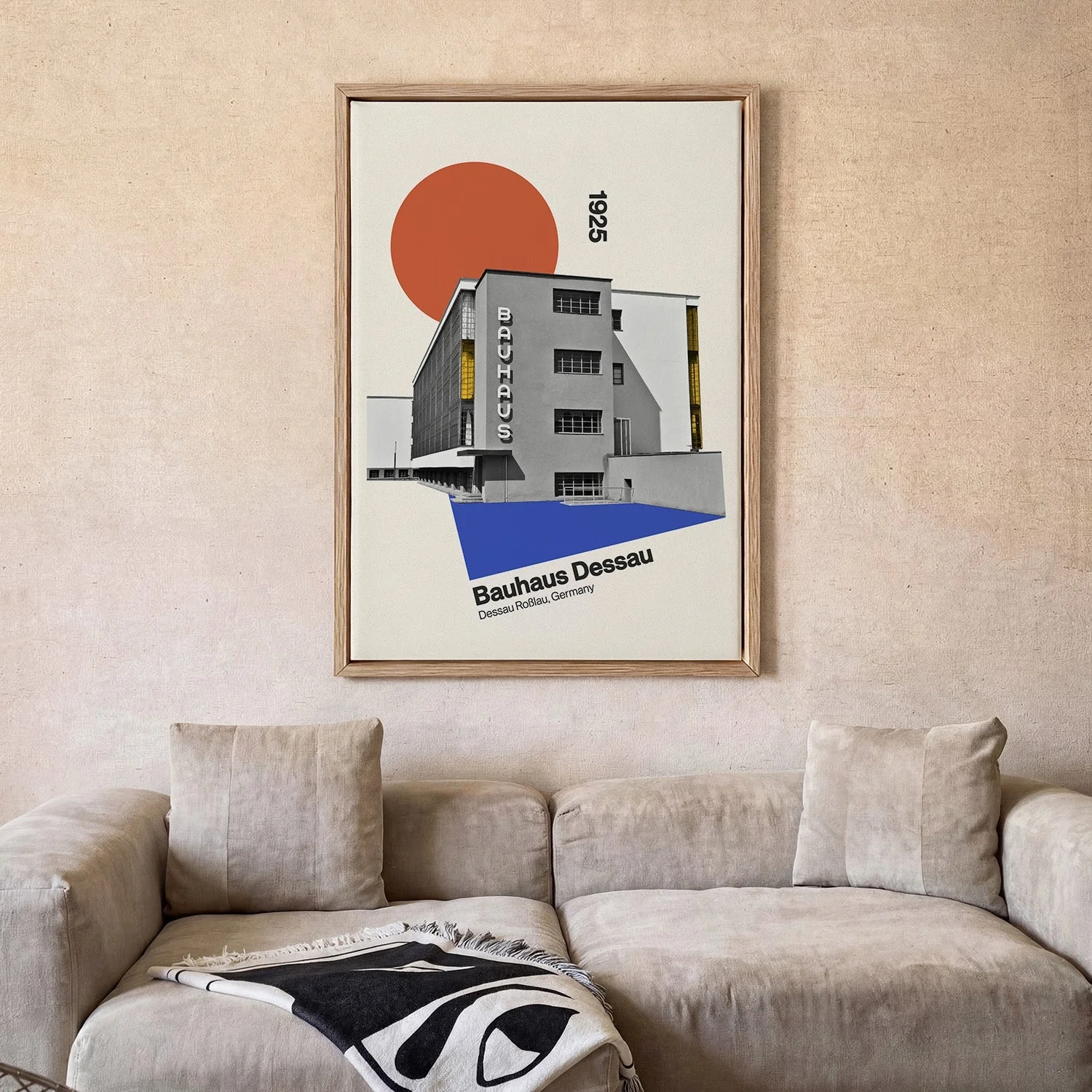
Nevada Plateau Geological
Where the Nevada Basin chart maps a sunken geography, this plateau survey turns attention to elevated terrain — broad mesa formations and the horizontal sweep of high desert geology rendered with field-survey precision. The composition works across a wide register, strata annotated in careful layers, topographic transitions marked with the confidence of a practised scientific draughtsman. Muted earth tones — ochres, browns, and warm greys — give the chart a visual coherence that transcends mere documentation. Landscape perceived through the lens of nineteenth-century geological method.
Canvas deepens the earth-toned ochres, browns, and warm greys of the survey. The weave gives the annotated strata and topographic layers a field-journal quality — tactile, weathered, quietly authoritative. Printed as a canvas art print, the 19th-century geological chart carries itself like an object with history: less clinical documentation, more surveyed landscape rendered with patient scientific hand.
Product Information
Product Information
Shipping & Returns
Shipping & Returns
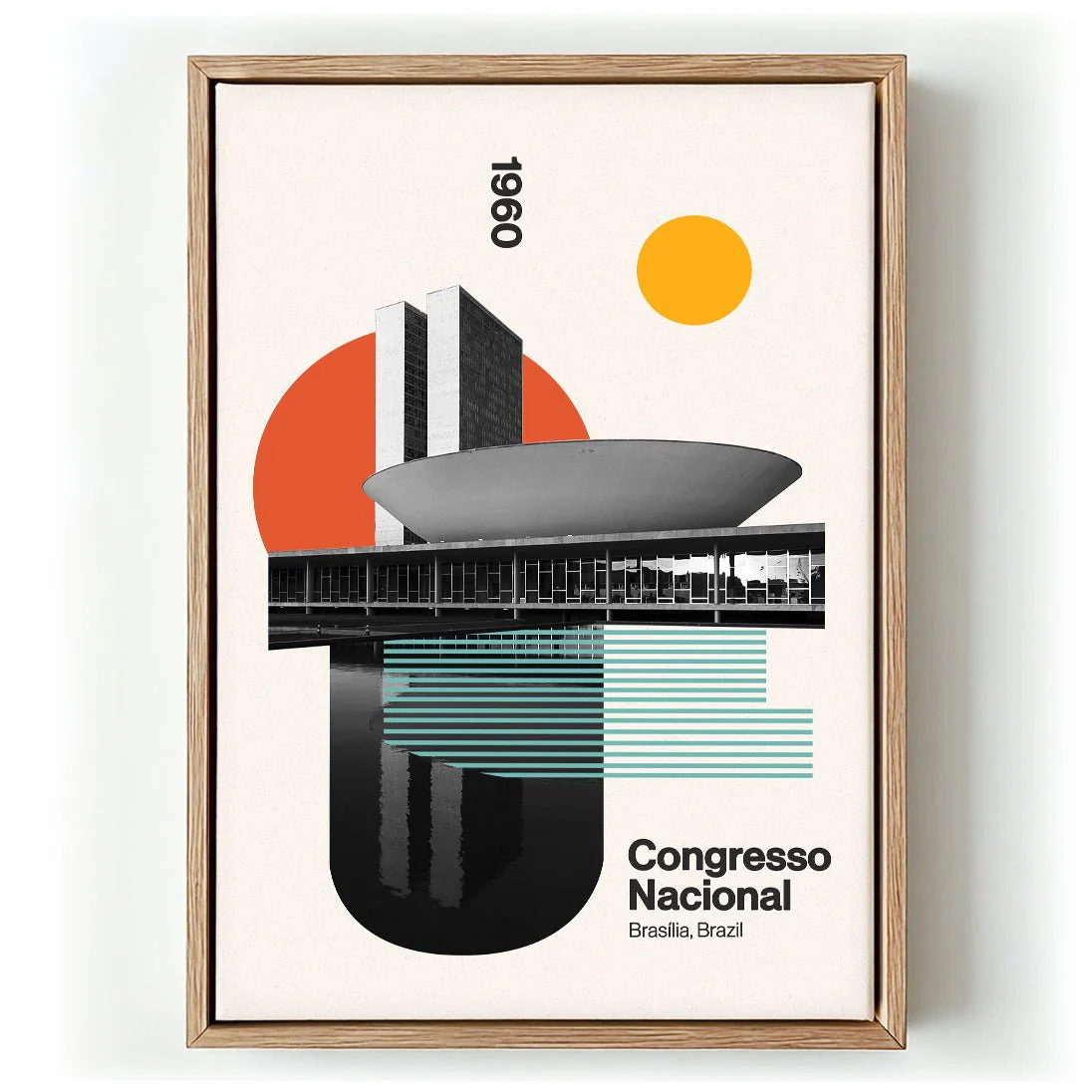
Description
Where the Nevada Basin chart maps a sunken geography, this plateau survey turns attention to elevated terrain — broad mesa formations and the horizontal sweep of high desert geology rendered with field-survey precision. The composition works across a wide register, strata annotated in careful layers, topographic transitions marked with the confidence of a practised scientific draughtsman. Muted earth tones — ochres, browns, and warm greys — give the chart a visual coherence that transcends mere documentation. Landscape perceived through the lens of nineteenth-century geological method.
Canvas deepens the earth-toned ochres, browns, and warm greys of the survey. The weave gives the annotated strata and topographic layers a field-journal quality — tactile, weathered, quietly authoritative. Printed as a canvas art print, the 19th-century geological chart carries itself like an object with history: less clinical documentation, more surveyed landscape rendered with patient scientific hand.