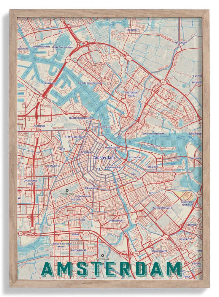
Retro Map Amsterdam by jay stanley
Retro Map Amsterdam reinterprets the Dutch capital through a graphic design lens that feels rooted in mid-century cartographic tradition. Jay Stanley distils the city's canal rings and street grid into bold, simplified forms, using a muted retro palette that gives the image warmth without nostalgia overload. The result is a map that functions as portrait — Amsterdam reduced to its essential geometry, legible and characterful in equal measure.
Issued as an archival fine art print, the crisp lines and flat colour fields of this graphic illustration render with complete fidelity on matte paper, making every district boundary sharp and clean.
Original: $38.34
-65%$38.34
$13.42More Images


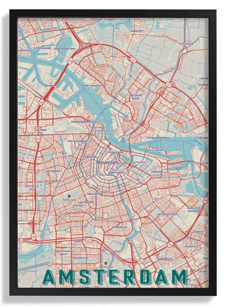

Retro Map Amsterdam by jay stanley
Retro Map Amsterdam reinterprets the Dutch capital through a graphic design lens that feels rooted in mid-century cartographic tradition. Jay Stanley distils the city's canal rings and street grid into bold, simplified forms, using a muted retro palette that gives the image warmth without nostalgia overload. The result is a map that functions as portrait — Amsterdam reduced to its essential geometry, legible and characterful in equal measure.
Issued as an archival fine art print, the crisp lines and flat colour fields of this graphic illustration render with complete fidelity on matte paper, making every district boundary sharp and clean.
Product Information
Product Information
Shipping & Returns
Shipping & Returns
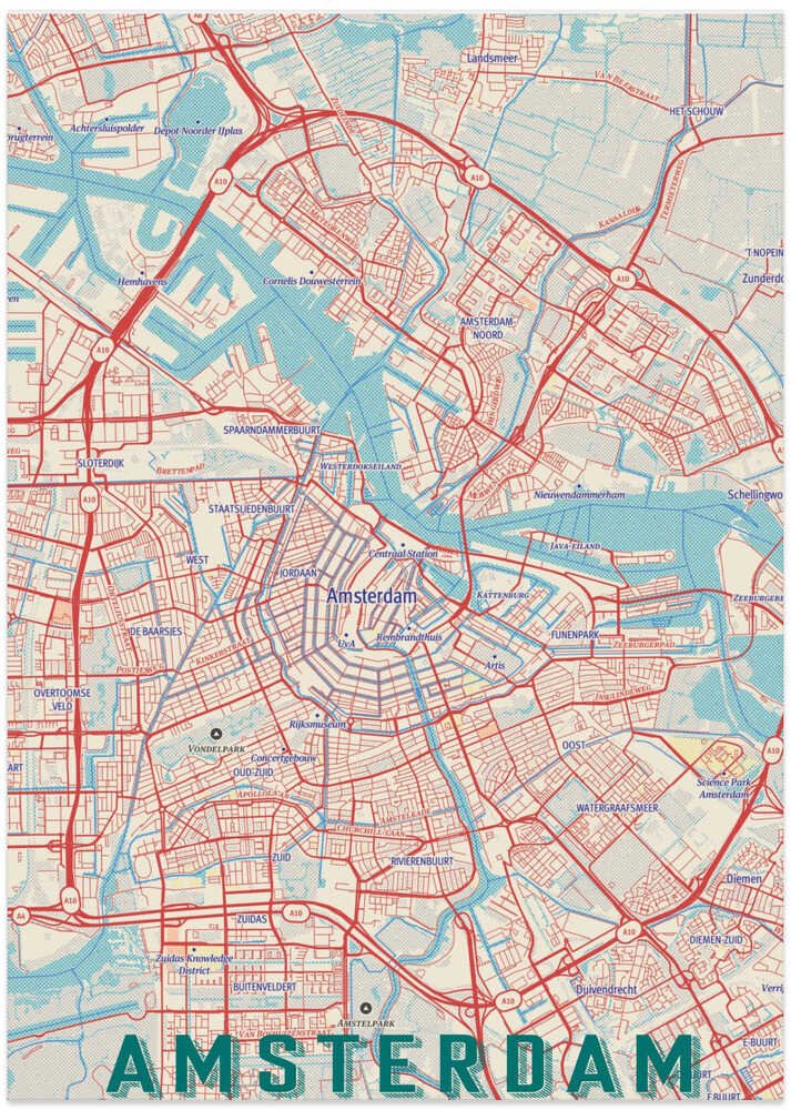
Description
Retro Map Amsterdam reinterprets the Dutch capital through a graphic design lens that feels rooted in mid-century cartographic tradition. Jay Stanley distils the city's canal rings and street grid into bold, simplified forms, using a muted retro palette that gives the image warmth without nostalgia overload. The result is a map that functions as portrait — Amsterdam reduced to its essential geometry, legible and characterful in equal measure.
Issued as an archival fine art print, the crisp lines and flat colour fields of this graphic illustration render with complete fidelity on matte paper, making every district boundary sharp and clean.