Geological of Asia — Mongolia
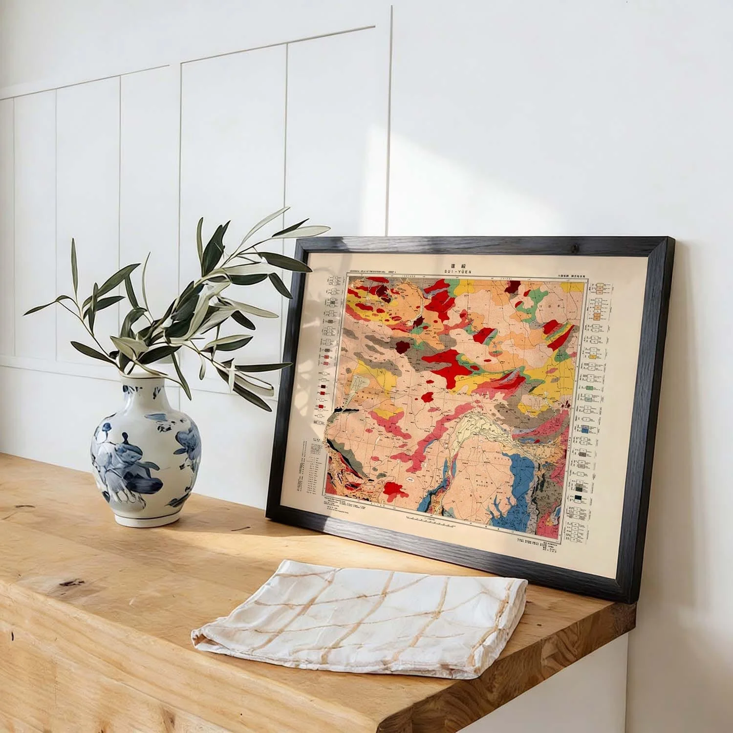
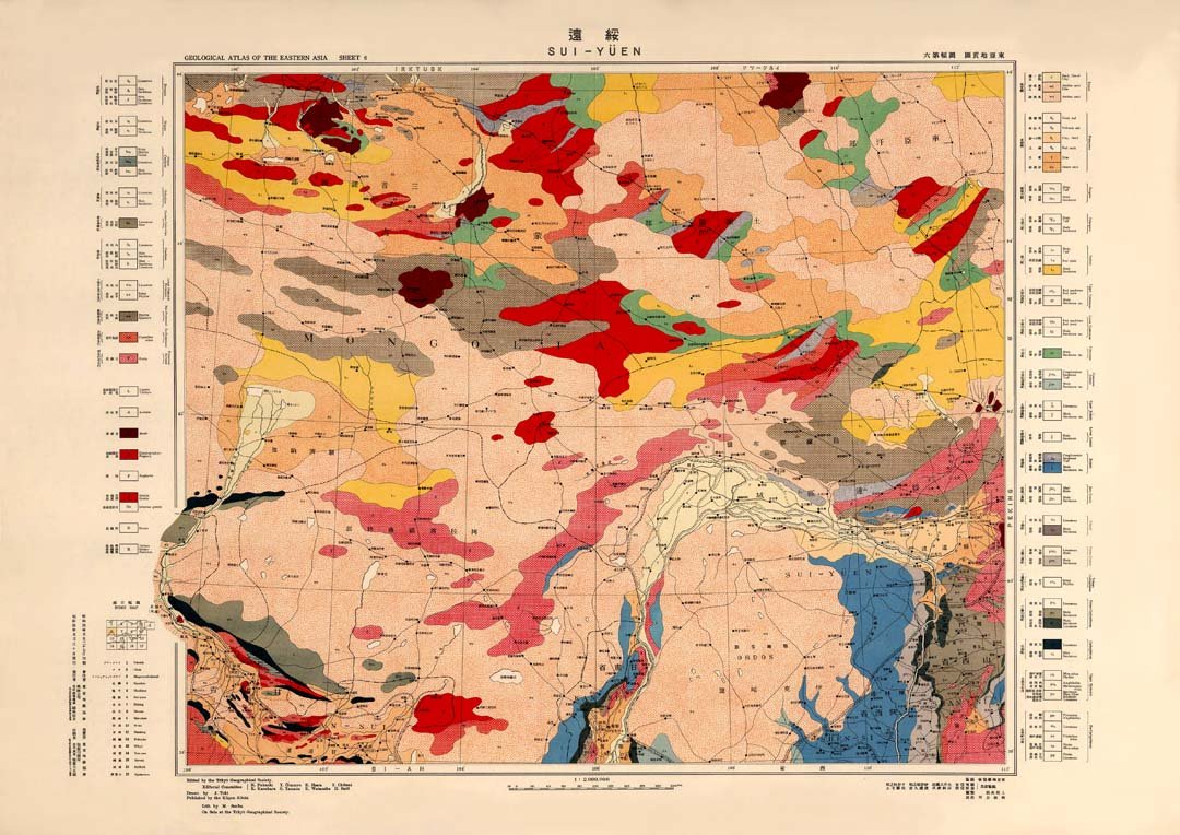
This vintage geological survey map of Mongolia's Asian territory presents landscape as data — terrain coded in muted ochres, greens, and earth tones, each region classified with the methodical precision of 19th-century cartographic science. The composition is dense with information and yet visually coherent, its grid of annotations and relief markings forming an unintentional but compelling abstract pattern. There is something quietly monumental about the scale at which the land is laid out, stripped of politics and rendered purely as geology.
Printed as an archival fine art print, the fine cartographic linework, layered colour zones, and period typography of this geological chart are reproduced with full precision on museum-grade paper — every annotation legible, every boundary crisp.
Original: $17.42
-65%$17.42
$6.10More Images


Geological of Asia — Mongolia
This vintage geological survey map of Mongolia's Asian territory presents landscape as data — terrain coded in muted ochres, greens, and earth tones, each region classified with the methodical precision of 19th-century cartographic science. The composition is dense with information and yet visually coherent, its grid of annotations and relief markings forming an unintentional but compelling abstract pattern. There is something quietly monumental about the scale at which the land is laid out, stripped of politics and rendered purely as geology.
Printed as an archival fine art print, the fine cartographic linework, layered colour zones, and period typography of this geological chart are reproduced with full precision on museum-grade paper — every annotation legible, every boundary crisp.
Product Information
Product Information
Shipping & Returns
Shipping & Returns
Description
This vintage geological survey map of Mongolia's Asian territory presents landscape as data — terrain coded in muted ochres, greens, and earth tones, each region classified with the methodical precision of 19th-century cartographic science. The composition is dense with information and yet visually coherent, its grid of annotations and relief markings forming an unintentional but compelling abstract pattern. There is something quietly monumental about the scale at which the land is laid out, stripped of politics and rendered purely as geology.
Printed as an archival fine art print, the fine cartographic linework, layered colour zones, and period typography of this geological chart are reproduced with full precision on museum-grade paper — every annotation legible, every boundary crisp.